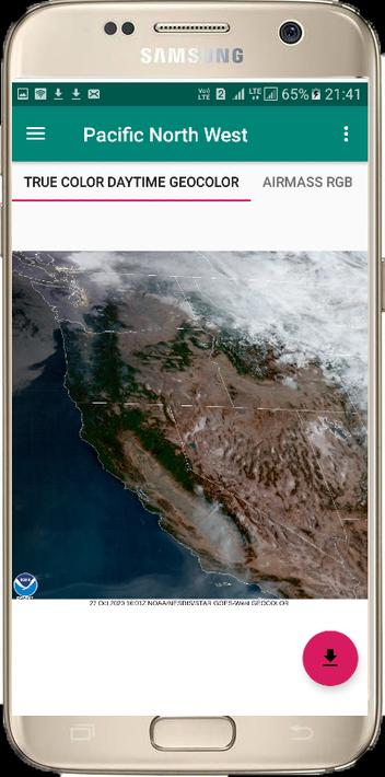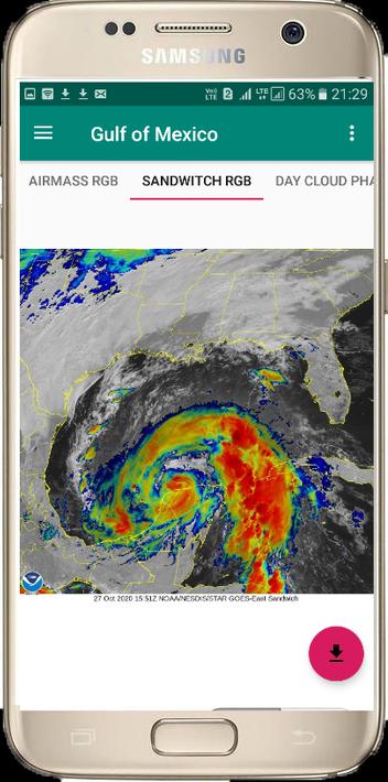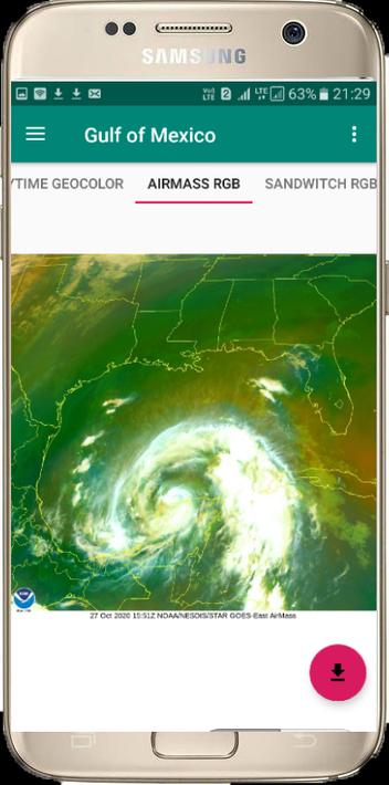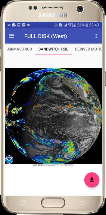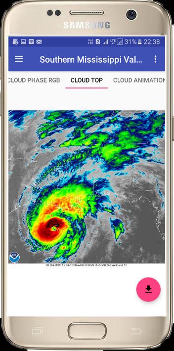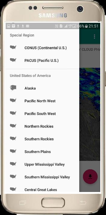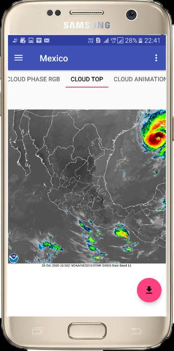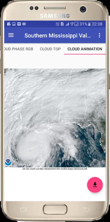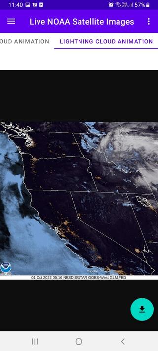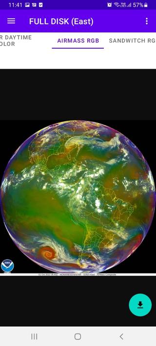


The NOAA Satellite Weather app is a powerful tool for anyone who needs the latest weather information. It provides live NOAA GOES satellite images, covering a wide range of areas, including the United States, Canada, Mexico, Central America, the Caribbean, and both northern and southern South America. Every 10 minutes, the radar image is updated, and users can change the desired city and see the cloud position. The app also includes satellite clouds animation and allows for easy unlimited download of desirable satellite clouds images.
The app is based on two types of satellites, the Geostationary Operational Environmental Satellite (GOES) and the Polar-orbiting Operational Environmental Satellites (POES). The GOES satellites are operated by the United States' National Oceanic and Atmospheric Administration (NOAA) and provide weather forecasting, tropical cyclone tracking, and meteorology research. The POES satellites provide the backbone of the global observing system and are also operated by NOAA.
Key Features of NOAA Satellite Weather app: